Overview:
Come prepared to take on Sydney’s best loop of mixed terrain. A superb Pick’n’mix of every type of terrain that you can squeeze into a 48km ride within the boundaries of Sydney.
Suitability:
Suitable for experienced riders with reliable and well maintained gravel or mountain bikes. Rides must be able to navigate their own way around the route and should be familiar with first aid.
Route Description:
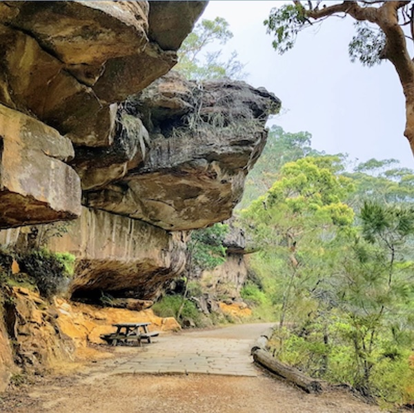
The ride begins at Waterfall Train Station and heads down and up some technical fire trails which eventually pops out onto the Princes Highway then takes you along the deserted the Woronora Dam Road. The Pipeline Trail and Mirang Road Trail bring you up into Heathcote for a well deserved refreshment. Heading over the Princes Highway on the footbridge for Heathcote Station you take some quiet residential streets to the next section of fire trails and single track. Heading down to Audley Weir on the road you then join Lady Carrington Drive for a leafy meander in the cool shade of the forest. The climb out of the RNP is via McKell Avenue back to Waterfall Station
Bailout option is available at the 22km mark at Heathcote Train Station.
Choice of cafes in Heathcote NSW 2233
Important Considerations:
• Carry ample water, as there are no refilling options apart from the café.
• Bring plenty of snacks and a first aid kit.
• Ride with a safe stopping distance, especially on downhills.
• Do not rely on riders ahead to choose the correct line or speed.
• Hazard calls for obstacles such as rocks and sticks may be too frequent, so stay alert and scan the trail ahead.
• Trail surface may have changed due to wet weather, erosion and maintenance.
• Farnell Avenue is a steep and fast road and you must remember that your gravel tyres do not have the same amount of grip when hard cornering on tarmac.
• Princes Highway (ride single file in a bunch)
Regroup Points:
• Princes Highway intersection at 5.3km
• Woronora Dam Road intersection at 6.3km
• Pipeline Trail intersection at 11.6km
• Mirang Road Trail 17.6km
• Powerline East Trail 19.9km
• Café 22.4km
• Goarra Ridge Fire Trail 24.1km
• Engadine Lakes Trail 26.5km
• Single Track at 28.7km
• Farnell Avenue 29.6km
• Lady Carrington Drive Toilets 32.7km
• Sir Bertram Stevens Drive 42.9km
Check the National Parks and Wildlife website to ensure the track is open and accessible:
https://www.nationalparks.nsw.gov.au/visit-a-park/parks/royal-national-park
Distance: 48.00
Elevation Change: 864
Ride with GPS
Check public transport alerts: www.transportnsw.info/alerts#/metro-train
Risk warning
As a participant in this dangerous recreational activity, you may be exposing yourself to a significant risk of harm.
Bike North, the ride organisers and leaders wish to warn you of the risks and hazards that are an inherent part of cycling,
and to take care to prevent putting yourself, your fellow participants and/or others into danger.
By registering for this ride, you accept the warning as to risk, and you agree to ride in a safe and responsible
manner and to obey all road rules and other legal requirements.
All riders wear an approved helmet and carry water, at least one spare tube plus a pump.
Health Warning
Riders must not attend if sick, have Covid-19, influenza or symptoms of any communicable disease.
Social media
While on Bike North rides and activities, you may be photographed or videoed. Photographs and videos
may be used by Bike North for social media or promotional purposes. If participants do not wish to be
included in social media, they should make it known at the beginning of the activity or as soon as possible
and other participants must respect their wishes.